Drone swarms are coming. Don’t panic. They’re bringing that stuff you ordered.
This article first appeared in Sherwood News on January 14, 2025.
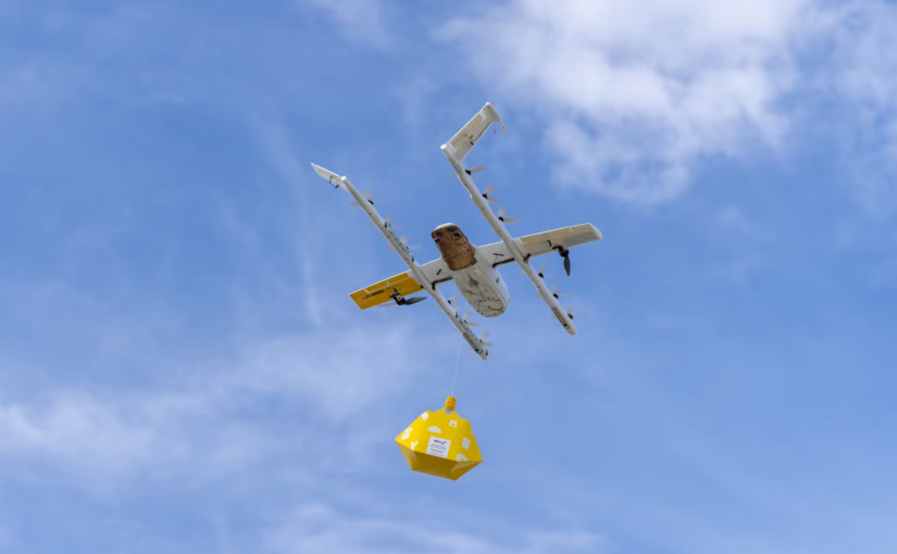
Do you have a sneaking suspicion that an unmanned vehicle is hovering over your house? The odds that you’re right are growing fast. And that drone might just be bringing you a hamburger.
In more than a dozen locations across the US, fleets of autonomous vehicles are zipping through the sky, summoned by customers seeking convenience and a touch of novelty. These battery-powered vessels are delivering food, medicine, and other small consumer goods, often within 30 minutes of an order being placed, and they do so almost noiselessly, without adding any traffic to roads or carbon emissions to the atmosphere.
Some of America’s biggest retailers are behind the surge, and the plan is to push toward ubiquity over the next 5 to 10 years. “Between Amazon, Walmart, DoorDash, and Uber Eats, you’re going to see 100,000 or 200,000 autonomous robots operating in the lower part of the airspace,” Andreas Raptopoulos, CEO of the drone-delivery startup Matternet, said. “It will be a profound transformation of how things work.”
Delivery drones have been simmering on the back burner for years now. They broke into public consciousness back in 2013 when Jeff Bezos revealed on “60 Minutes” that AmazonAMZN $218.12 (-0.31%) was experimenting with bringing small packages to customers using uncrewed aircraft.
Then things went quiet. Apart from a few test projects here and there, neither Amazon nor anyone else seemed to be making much progress. The problems were many. For one thing, drones were noisy, slow, and had limited range. For another, communities balked at the prospect of being swarmed by what sounded like giant mosquitos.
Most of all, what was holding drone delivery back was regulation. The Federal Aviation Administration is responsible for every form of civilian aircraft that flies in the US airspace, and while it’s an enthusiastic supporter of using that airspace profitably, it’s also extremely serious about protecting the public from danger.
As Amazon and others developed their vehicles, the FAA maintained strict rules over their operation. In particular, it mandated that each vehicle had to be controlled by a single dedicated operator who maintained a line of sight on the craft at all times.
Continue reading Keep Calm and Drone On


